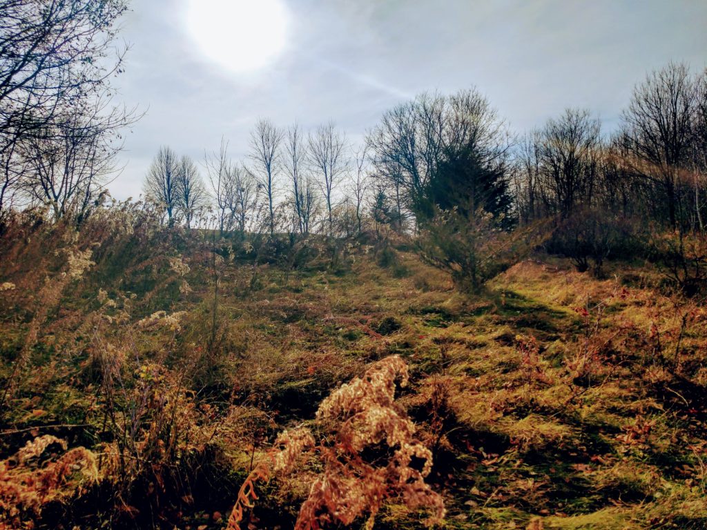
A field near the River Bluff LRT in Eden Prairie. Photo credit- Brad Canham
Many people are planning on staycations during the pandemic and cabin fever season. Snowbird neighbors are not likely to migrate to their winter nests in Arizona. Instead, they’ve hired a high school kid with a snowblower and making do. To get out into the fresh air over the next few months, many are planning to hike along Eden Prairie’s 120 or so miles of bike trails and 13 miles of nature trails.
Below are several ‘trail staycations’ options in Eden Prairie over the next few months:
Lake Smetana / Nine Mile Creek Loop Trail7620 Smetana LaneMap http://gis.edenprairie.org/RunningRoutes/Lake_Smetana_Route.pdf
The Nine Mile Creek trail that circles Lake Smetana may be the only trail in Eden Prairie where one can hope to spot media celebrities. Who wouldn’t want to see KMSP-TV’s Jason Matheson and Alix Kendall or AM950 Radio’s Matt McNeil walking around this tear drop? Both stations are nearby.
McNeil was kind enough to meet me at Lake Smetana for a few photos and some trail chat. The high energy, daytime radio host frequently Tweets about politics and hiking along the upper reaches of Nine Mile Creek in Hopkins where he lives.
 AM950 Radio personality Matt McNeil is a huge fan of Eden Prairie’s trail system. He’s seen here on the Nine Mile Creek trail that circles Smetana Lake. Photo credit- Jeff Strate
McNeil said he and his family, who attend Pax Christi Catholic Community, have hiked most of Eden Prairie’s trails. The U.S. Army vet’s sunny enthusiasm for EP’s natural trailside landscapes radiates from the man, no radio studio needed.
 A stand of aspen along the Nine Mile Creek trail in Eden Prairie. Photo credit- Jeff Strate
The 1.6-mile, paved ribbon around Lake Smetana, edges corporate campuses, business centers, senior residential co-ops and a quiet reach of Nine Mile Creek. The loop also courses through stands of deciduous trees and pines. The public parking lot that serves the trail and a small park is located via Valley View Road on Smetana Lane near the residential complex.
Miller Park / Mitchell Lake8208 Eden Prairie RoadMap http://gis.edenprairie.org/ParkMaps/MillerPark.pdf
The southwest bay of Mitchell Lake is skirted by Miller Park’s hike and bike trails. The short distances and mostly flat elevations make for nice tune-up walks splaying out from the playground area’s parking lot. Before Mitchell Lake freezes, the bay and its small coves offer scenic photo settings.
 During early fall, the unique Monotropa uniflora (aka Indian pipe, Ghost plant), a flowering plant (not a fungus) which does not depend on photosynthesis grows in dark areas of forest along the Mitchell Lake trails. Photo credit-Brad Canham
Now 16 years old the Mitchell Lake Association maintains records on ice out dates, activities at the lake, and efforts to ensure the long-term health of Mitchell Lake.
![]() Mitchell Lake cove borders Miller Park. Archive photo credit Jeff Strate.
Mitchell Lake cove borders Miller Park. Archive photo credit Jeff Strate.
When ice fishing shelters and anglers appear on the main lake, more walking options come into play. Be safe. From the boat launch ramp, follow the snow tracks over the frozen lake to chat with the solitary or platooned souls who, somehow, find comfort from winter smack dab where it can be harshest – on a sheet of ice.
Post-walk warmups can be pre-ordered online for pick-up nearby on Eden Prairie Road from Smith Coffee & Cafe (8 am to 3 pm) [ https://www.smith1877.com ] or the drive-through pickup at Dairy Queen (10:30 am to 10:30 pm).
Cardinal Creek Conservation Area12800 Gerard Drive: Discovery PointMap: http://gis.edenprairie.org/ParkTrails/CardinalCreekCA.pdf
 The trailhead sign on Cardinal Creek Road. Photo credit: Jeff Strate
Discovery Point, the beautiful 5-acre setting of the Nine Mile Creek Watershed District’s educational center and headquarters on Gerard Drive is a fine place to begin a walk on nature trail that winds through Cardinal Creek Conservation Area. However, the educational center is currently not open. The pandemic has prompted the environmental agency to hold its public meetings and hearings via Zoom and to provide services via email, phone, social media and the web.
Until the center re-opens, Cardinal Creek hikers can park on city streets. You’ll find trailheads a snow ball throw from Discovery Point’s Gerard Drive entry and on Cardinal Creek Road between Edgebrook Place and Stonewood Court.
The Cardinal Creek trail loops nearly a mile through and edges above a wetland that cradles a branch of Nine Mile Creek that flows underneath Interstate 494 to Bryant Lake. The trail is not maintained in winter.
Minnesota River Bluffs LRT Regional TrailMap: https://www.edenprairie.org/home/showdocument?id=577Belying its officiously twisted name, The Minnesota River Bluffs LRT Regional Trail is the straightest transportation corridor through Eden Prairie. Eden Prairie’s 5.8 mile stretch of the hike and bike freeway, from Riley Lake in the southwest to 62nd Street near Industrial Boulevard in the northeast, remains a popular, all-season route.
 During the week of November 16, 2020 a new layer of crushed limestone was added and packed down on the River Bluffs LRT, including near this intersection with Dell Road
The crushed limestone trail is owned by the Hennepin County Regional Railroad Authority and maintained by Three Rivers Park District except during the winter months. During the winter, Eden Prairie city crews are contracted to clear snow from the stretch of trail in Eden Prairie.
Locally, the regional trail has approximately 14 street and neighborhood access points. It follows the right-of-way of steam era Minneapolis & St. Louis Railway freight and passenger trains. The artist Prince’s famous Graffiti Bridge was the railroad span over Valley View Road. The bridge was torn down and replaced in 1991 by the current trail bridge.
The regional trail passes through and alongside residential neighborhoods, parks and conservation areas, Bearpath and Bent Creek Golf Courses and two industrial areas. Variety! Variety made more interesting during late fall and winter treks; hikers, bikers and skiers can see homes, backyards and warehouses otherwise hidden by leaves and buckthorn.
 A large head of David is visible peering at passersby along the River Bluff LRT in Eden Prairie. Photo credit- Brad Canham
The ‘LRT’ in Minnesota River Bluffs LRT Regional Trail stands for Light Rail Transit. In the distant future, it remains possible that the trail could share the corridor with light rail tracks.
 The River Bluff regional trail facing west past Dell Road where it bisects the Bearpath neighborhood. Photo credit- Brad Canham
The city of Eden Prairie’s Trail and Sidewalk Snow Removal Map is a helpful resource prior to selecting a park or conservation area to explore.
The conservation areas, parks and trails without snow removal will remain open for hikers, snowshoers and cross-country skiers – as well as those on staycations here in Eden Prairie.